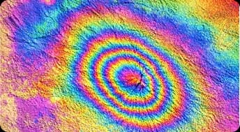
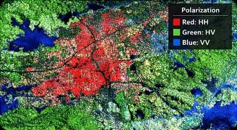
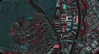
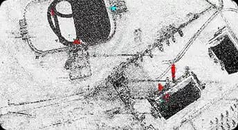
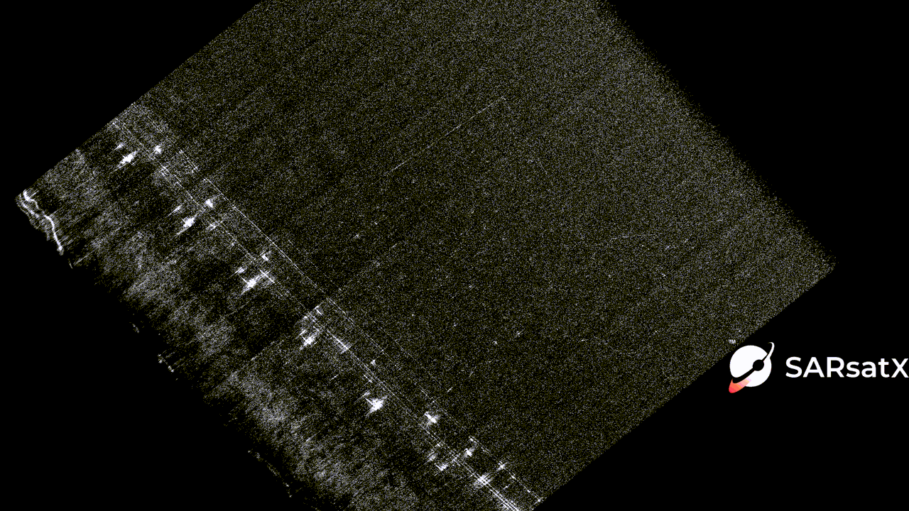
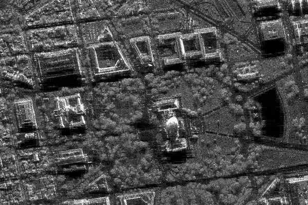
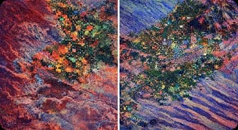
Radar-Based Solutions for Earth Intelligence

SARsatX delivers reliable Earth observation solutions powered by radar satellites to support monitoring, risk management, and informed decisions across key industries.

Data

Reliable Earth Observation Data for Better Decisions

We overcome satellite imaging challenges to deliver reliable Earth observation data, enabling governments, organizations, and businesses to make faster and better decisions.

Multi-Source Data Access

Access radar (SAR) and optical Earth observation data from multiple platforms to support diverse monitoring and analysis needs.

High Accuracy & Reliability

Data is delivered with high spatial accuracy and consistency, supporting confident decision-making in critical use cases.

Timely & Scalable Delivery

Rapid data availability and scalable coverage enable continuous monitoring across large geographic areas.

Earth observation from space showing satellite and planet Earth

Our Solutions

Solutions Built for Real-World Challenges

There are many applications that SARsatX can support its customers through in both the government and private sectors by enabling the data to make more meaningful decisions.

Security & Defense

SARsatX delivers reliable Earth observation solutions powered by radar satellites to support monitoring, risk management, and informed decisions across key industries.

Continuous monitoring of sensitive, restricted, and high-risk areas to ensure situational awareness at all times.

Detection of unauthorized activity, surface disturbances, and infrastructure changes across wide and remote regions.

Support for strategic planning, operational readiness, and risk assessment for security-focused organizations.

Disaster response support with rapid damage assessment and recovery planning capabilities.

Security and defense Earth observation solutions

SAR Data Products

SAR Backscatter

SAR Backscatter

SAR sensors provide reliable, all-weather, day-and-night data for terrain mapping, flood monitoring, land subsidence, and surface change detection. Advanced techniques such as InSAR and polarimetric SAR enable deformation analysis, material discrimination, and effective disaster response where optical imagery is limited.

InSAR

InSAR

InSAR measures surface deformation by analysing phase differences between multiple SAR acquisitions to generate precise displacement maps. It is widely used to monitor earthquakes, landslides, subsidence, infrastructure stability, and long-term environmental change.

PolSAR

PolSAR

PolSAR captures radar backscatter in multiple polarisations (HH, HV, VH, VV) to characterise surface properties and vegetation structure. It supports land-cover classification, forest and biomass analysis, urban mapping, and disaster management applications.

Polarimetric Decomposition

Polarimetric Decomposition

A polarimetric decomposition (PD) image represents the scattering behavior of targets by decomposing full or partial polarimetric SAR data into physically meaningful components. It enables the visualisation of dominant scattering mechanisms such as surface, double-bounce, and volume scattering.

Amplitude Change Detection

Amplitude Change Detection

An amplitude change detection (ACD) image highlights differences in backscatter intensity between two or more acquisition times. It is used to identify areas of change such as construction, vegetation, or flooding.

Coherent Change Detection

Coherent Change Detection

A coherent change detection (CCD) image measures changes in scene coherence between repeat-pass acquisitions by comparing complex phase information. It is sensitive to subtle structural or surface changes and is widely used for detecting man-made activity and scene disturbance.

Colourised Sub-Aperture Image

Colourised Sub-Aperture Image

A colourised sub-aperture image (CSI) is formed by splitting the synthetic aperture into multiple azimuth sub-apertures and assigning each to a colour channel. The resulting composite highlights man-made objects and motion effects, aiding interpretation beyond standard ground range detected images.

SAR Video

SAR Video

A SAR video (SV) is a time-sequenced series of ground range detected images generated from consecutive apertures, creating a dynamic view of a scene. It enables observation of target motion, temporal changes, and scene dynamics.

Optical Image Types

True Color Image

True Color

A true color image integrates the red, green, and blue spectral bands to reproduce the natural appearance of the landscape. Where available, pansharpening is applied to enhance spatial resolution. True colour imagery is primarily used for visual interpretation, land cover assessment, and general landscape monitoring.

False Color Urban Image

False Color Urban

A False Color Urban (FCU) composite combines SWIR1, SWIR2, and red bands to highlight built-up areas, vegetation, water, and bare soil based on their spectral response. It is widely used for urban expansion monitoring, land-use/land-cover mapping, and flood-prone area identification.

Hyperspectral Image

Hyperspectral

Hyperspectral imagery captures hundreds of narrow bands to detect materials, vegetation stress, water quality, and chemical signatures beyond human vision. It supports applications such as precision agriculture, mineral exploration, environmental monitoring, and material classification.

Thermal Image

Thermal

Thermal imagery measures surface temperature and heat patterns to identify energy flow and anomalies. It is used for urban heat mapping, wildfire monitoring, industrial inspection, climate studies, and surface temperature analysis.

MSAVI2 Image

MSAVI2

MSAVI2 is derived from near-infrared and red bands to minimise soil brightness effects while enhancing vegetation signals. It is commonly used to analyse vegetation cover, estimate biomass, assess leaf area index, and support accurate land-cover mapping and classification.

Data Analytics

Data Analysis

At SARsatX, we leverage advanced machine learning and artificial intelligence to unlock deeper value from satellite imagery. These technologies enable us to efficiently analyze large volumes of Earth observation data, extract meaningful insights, and transform raw images into actionable information.

Contact us
Data analytics dashboard showing satellite imagery analysis

Data Processing & Analytics

SARsatX processes data automatically through several stages, including:

SAR Image Calibration

Precision calibration for accurate geospatial measurements

Optical Image Enhancement

Advanced algorithms for optimal image quality and clarity

Automatic Feature Extraction

Automated identification and extraction of key features

Time-Series Comparison

Change detection to monitor environmental changes over time

AI-Powered Analytics

Machine learning for ready-to-use results and insights

Custom Mission Solutions

Custom Mission Solutions

SARsatX provides mission-ready solutions tailored to the needs of government entities and enterprises, including:

Custom Sensor Configrations

Sensor configurations tailored to meet specific mission requirements

Specialized Payload Designs

Custom payload designs for specific operational objectives

Mission-Specific Systems

Subsystem integrations designed specifically for each mission

Discover Custom Solutions
Custom mission solutions satellite imagery

Contact Us

To find out more about us, contact us today.

Our team will get back to you within 24 hours to answer your inquiries